步骤
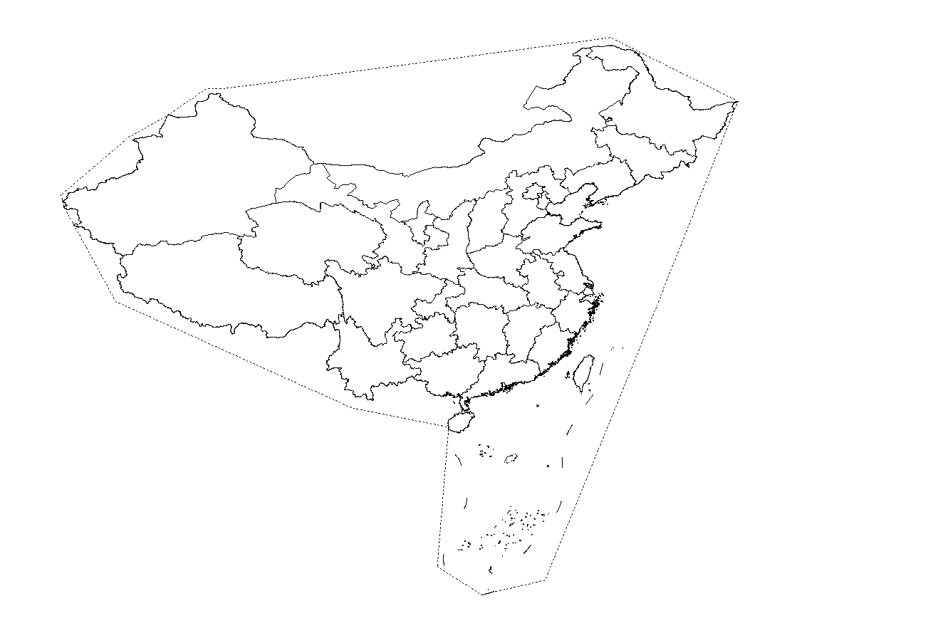
1 获取中国地图,利用QGIS绘制包含中国全境的简单多边形。
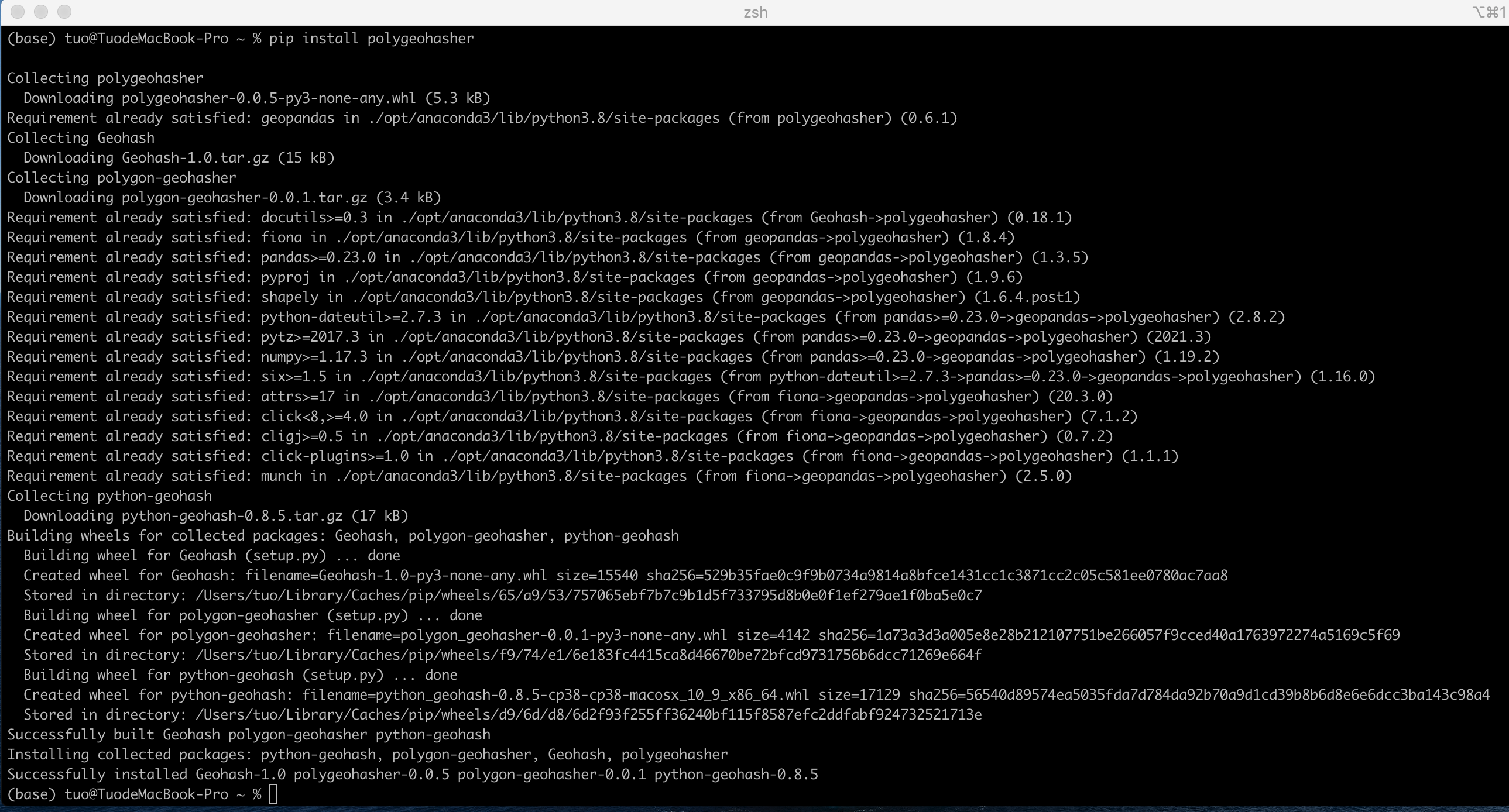
2 安装Python库
3 按需求生成Geohash网格
from polygeohasher import polygeohasher
import geopandas as gpd
import matplotlib.pyplot as plt
%matplotlib inline
gdf=gpd.read_file("/Users/tuo/Data/China_Geohash.geojson")

#returns a dataframe with list of geohashes for each geometry
df_3 = polygeohasher.create_geohash_list(gdf, 3,inner=False)

geo_df = polygeohasher.geohashes_to_geometry(df_3,"geohash_list")
geo_df.to_file("China_Geohash_3.geojson",driver = "GeoJSON")
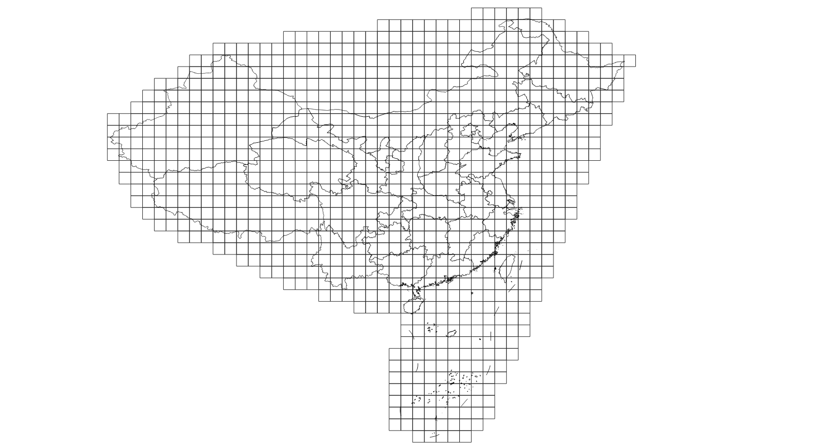
4 QGIS加载Geohash网格和中国边界线
引用
Polygeohasher: an optimized way to create geohashes